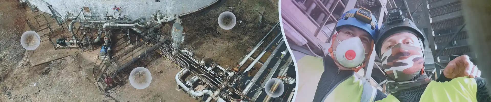
3D Laser Scanning & Data Processing Services
High-Precision Digital Twins, Point Clouds, and 3D Models for Industrial Projects
Why Choose Our 3D Laser Scanning Team?
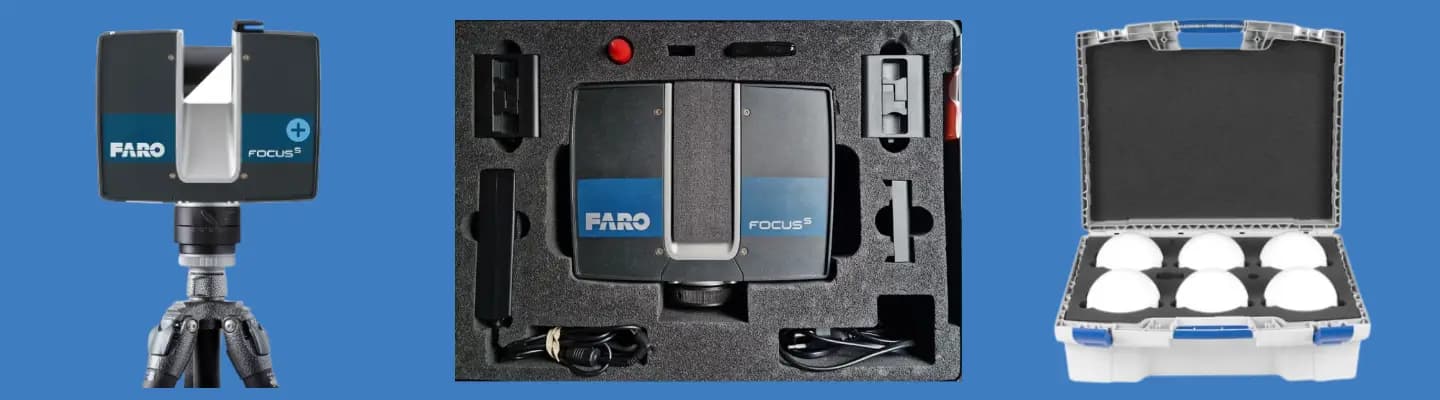
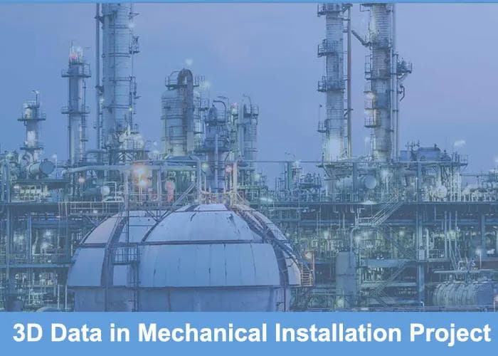
We provide professional 3D laser scanning services for large industrial projects. Using advanced equipment such as the FARO S70 scanner, we capture accurate and detailed 3D data based on your project needs. Our services cover the complete scanning process, from planning and on-site data capture to data processing, registration, and the creation of point clouds and 3D meshes.
We create accurate digital twins and as-built 3D models for project analysis, planning, and execution. Our 3D laser scanning and data processing services can also be used for deformation inspections, helping teams detect and document structural changes or misalignments. This provides accurate and reliable data for monitoring the condition of buildings, structures, equipment, and other assets.
Our 3D laser scanning services provide accurate digital models that support maintenance, retrofit work, and future planning. We deliver reliable 3D data based on the specific needs of your industrial project. Contact us to learn how accurate 3D data can support your project.
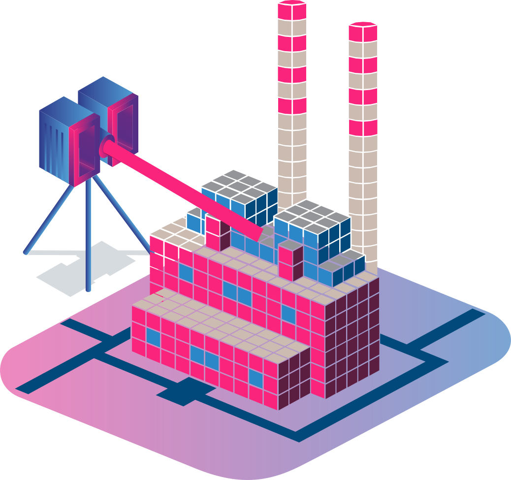
SCANNING SURVEY SERVICES
At our company, we specialize in providing advanced 3D laser scanning services for large industrial objects using the state-of-the-art FARO S70 scanner. Our service encompasses meticulous planning, thorough preparation, and precise surveying to deliver highly accurate and detailed 3D models tailored to meet your project needs.At our company, we specialize in providing advanced 3D laser scanning services for large industrial objects using the state-of-the-art FARO S70 scanner. Our service encompasses meticulous planning, thorough preparation, and precise surveying to deliver highly accurate and detailed 3D models tailored to meet your project needs.
•Planning more ▼
Effective 3D laser scanning starts with good planning. Our team works closely with clients to understand the project needs, goals, and limitations. This includes:
•Site Assessment:Reviewing the industrial site to determine the main areas for scanning, possible obstacles, and safety requirements.
•Project Scope Definition:Defining the project deliverables, schedule, and key milestones to keep the project clear and aligned with the client’s needs.
•Resource Allocation:Planning the equipment, team, and site support needed to complete the scanning work safely and efficiently.
•Preparation more ▼
Good preparation is important for accurate and efficient 3D laser scanning. Our preparation process includes:
•Calibration:Checking that the FARO S70 scanner is properly calibrated to provide accurate and reliable results.
•Site Setup:Preparing the scanning area and placing reference markers and control points to ensure accurate data capture.
•Safety Measures:Following safety procedures to protect the team and equipment during scanning.
•Survey more ▼
During the scanning phase, we use the FARO S70 scanner to capture accurate and detailed 3D data from large industrial facilities. This process includes:
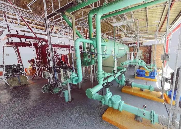
•High-Resolution Scanning:Our laser scanner captures high-resolution 3D point clouds with accurate measurements and detailed information about industrial facilities.
•Data Acquisition:Capturing data from multiple angles and positions to ensure complete coverage and accurate results.
•Real-Time Monitoring:Monitoring the scanning process to quickly identify and solve any issues and ensure accurate and complete data.
•Benefitsmore ▼
Our laser scanning services provide several benefits for industrial projects, including:
•High Precision:Providing accuracy of up to 1 mm for detailed and reliable 3D data.
•Speed and Efficiency: Fast scanning allows us to capture large areas in less time, reducing site downtime and overall project time.
•Versatility:Scanning different industrial environments, including complex structures and hard-to-reach areas.
Our 3D laser scanning services use the FARO S70 scanner to capture accurate and detailed data for large industrial projects. From planning and preparation to on-site scanning and data processing, we provide reliable 3D data that supports project planning, design, and engineering decisions. Contact us to learn how our 3D laser scanning services can support your next industrial project.

In the posts below, you can find more information about this type of service, as well as examples from customers who have implemented these services in engineering projects.
Is the scanning process harmful to the health of operators?
The scanning process emits no radiation and is completely safe for health. The FARO S70 scanner uses laser technology that is non-invasive and harmless, making it suitable for operation in active work environments without posing any risk to personnel.
What preparations should be made in the area that will be scanned?
Before scanning, it’s essential to ensure that the object meets safety standards for our operators, providing a secure working environment. Adequate lighting can be beneficial for the operators to move around safely, although our FARO S70 scanner collects data accurately even in low light. Additionally, access to a power source for battery recharging is recommended to maintain uninterrupted scanning during the process.
What is the accuracy level of your 3D laser scanning services?
Our 3D laser scanning services, powered by the FARO S70 scanner, achieve a high level of accuracy.Between the actual object and the generated point cloud, the accuracy is ±1mm.
When we develop a 3D model from the point cloud, the accuracy can be tailored to customer specifications, ranging from ±1mm to ±1cm based on project needs. This ensures that our models align precisely with the requirements of each industrial project.
What are the steps involved in your 3D laser scanning process?
Our process includes meticulous planning, careful preparation, and precise surveying using the FARO S70 scanner. After data capture, we process and refine the data to create a high-resolution 3D model tailored to your project needs.
How can I request a 3D scanning survey for my project?
Contact us through our website or via email to discuss your project’s needs. We’ll provide you with a customized quote and a clear plan to conduct an efficient and accurate scanning survey.
What information should I prepare before scheduling a scanning survey?
Please provide details about the project’s scope, specific areas to be scanned, and any site access or safety requirements. This helps us tailor our services to meet your expectations and project needs.
POINT CLOUD REGISTRATION AND POLY-MESH
At IN 3D Technology, we provide professional point cloud registration services to create accurate and organized 3D data. Point cloud registration combines multiple scans into one complete point cloud, helping project teams work with a clear digital representation of the scanned site, facility, or equipment. This process is widely used in construction, manufacturing, engineering, and industrial projects.
•Point Cloud Data:more ▼
•Improved Accuracy:Aligning multiple point clouds helps reduce errors and creates accurate 3D data for your project.
•Complete Data:Combining different scans creates a more complete and detailed digital representation of the scanned environment or equipment.
•Easy Data Management:Combining multiple scans into one organized point cloud makes the data easier to review, process, and use in later project stages.
•Our Expertise:more ▼
•Professional Tools:We use modern software and proven workflows to create accurate and reliable point cloud registrations.
•Experienced Team:Our team has experience working with large and complex point cloud datasets from industrial and engineering projects.
•Project-Based Solutions:We adapt the processing workflow to the needs of each project, from large industrial facilities to detailed mechanical equipment.
•Applications:more ▼
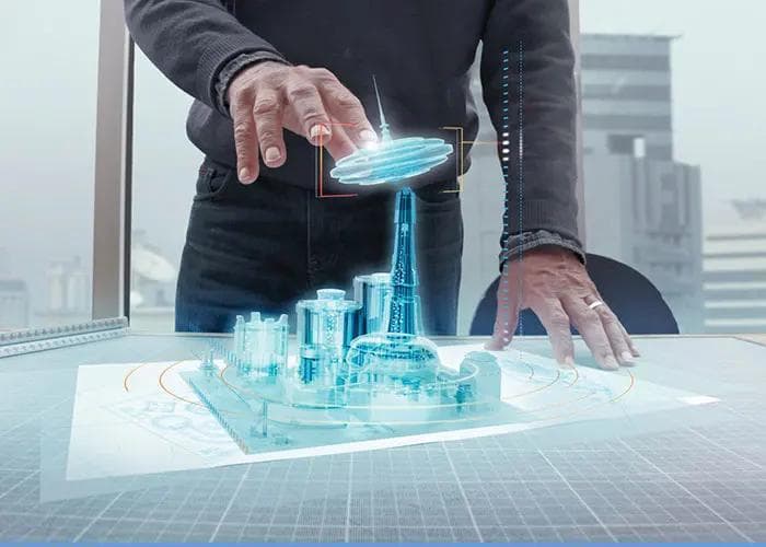
•Digital Twins:Accurate digital representations of industrial facilities, equipment, and environments for analysis, simulation, and visualization.
•As-Built 3D Models:Accurate models of existing conditions that support maintenance, retrofit work, engineering, and future planning.
•Technical Documentation:Point cloud data, 3D models, measurements, and technical information prepared for project review, planning, and engineering decisions.
At IN 3D Technology, we provide accurate and reliable point cloud registration services that help project teams work with organized and dependable 3D data.
Transform Point Cloud Data into Detailed 3D Mesh Models with IN 3D Technology
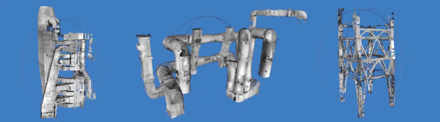
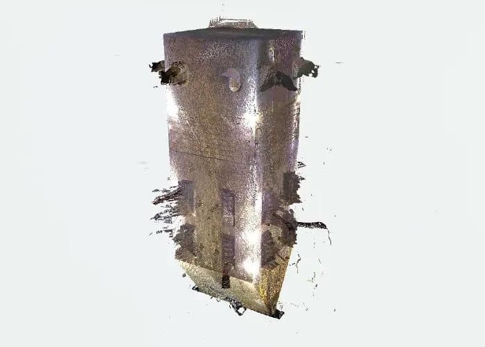
Poly-mesh creation converts point cloud data into a polygon-based 3D surface model. This makes scanned data easier to use for visualization, analysis, simulation, and other 3D applications. We create detailed poly-mesh models while keeping the data optimized for the software and platform used in your project.
•Poly-Mesh Data:more ▼
•Detailed 3D Models:Capture the shape and important details of scanned equipment, structures, and environments in a clear 3D model.
•Software Compatibility:Our poly-mesh models can be prepared for use across different 3D software tools and platforms.
•Optimized Performance:We balance model detail and file size to help the 3D data work smoothly in the required software environment.
•Our Approach:more ▼
•Professional Tools:We use modern 3D software and processing methods to convert point cloud data into detailed polygon meshes.
•Quality Control:Each poly-mesh model is checked for accuracy, missing areas, and overall data quality before delivery.
•Project-Based Processing:We adjust the mesh detail, size, and format based on the software and requirements of your project.
•Applications:more ▼
•Virtual Reality & Simulation:Detailed 3D environments for training, project visualization, simulation, and interactive experiences.
•Engineering & Design:3D mesh data that can support CAD workflows, design development, analysis, and engineering tasks.
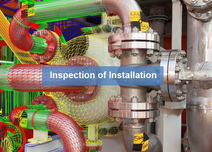
•Deformation Inspection:Poly-mesh models can be compared and analyzed to identify structural changes, deformation, or misalignment.
At IN 3D Technology, we create detailed and optimized poly-mesh models from point cloud data, helping engineering teams use scanned information across analysis, design, simulation, and visualization workflows.
In the posts below, you can find more information about this type of service, as well as examples from customers who have implemented these services in engineering projects.

Which software can we use to import the point cloud?
We provide software that allows you to view the point cloud, but you can also use other programs such as Navisworks, AutoCAD, Recap, and more to work with the point cloud data.
How long does it take to complete the data registration?
The time required for data registration depends on the scanning resolution and the number of scanned positions. For an industrial object that includes up to 250 positions, the process may take 5 working days.
How do I get started with your point cloud registration and poly-mesh services?
To get started, simply contact us to discuss your project requirements. Our team will guide you through the process, from data collection to the final model delivery, ensuring a seamless experience.
What is a poly-mesh, and how is it created from point cloud data?
A poly-mesh is a polygonal representation of a 3D model created from point cloud data. The process involves converting the dense point data into a mesh of polygons.
Can you provide custom poly-mesh models based on specific project requirements?
Yes, we offer customized poly-mesh creation services tailored to meet the specific needs of your project, ensuring that the final model aligns with your operational requirements and specifications.
Can we import the point cloud into SolidWorks?
Unfortunately, there is currently no option to import point clouds directly into SolidWorks.